Inland Florida faces 60-home flood risk as Peace River crests Thursday
Rainfall reached 12 inches in Highlands County, shifting the severe flood warning to a standard flood warning for the region.
By Jason Wood ·
Rainfall totals of up to 12 inches fell across inland Florida on Monday.
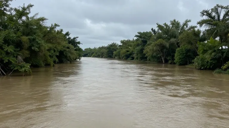
The heaviest accumulation occurred near Avon Park and Sebring in Highlands County, as well as in eastern Hardee and DeSoto counties. This precipitation has triggered ongoing river and stream flooding. The National Weather Service issued a First Alert Weather Day for Tuesday, covering only the inland counties.
Authorities changed the status of the severe flood warning to a standard flood warning earlier in the week. This change indicates that flooding is currently happening and may worsen as additional rain is forecast. Water from Monday's storms is receding and flowing into the Peace River and Horse Creek. New moisture is moving into the southern part of Highlands County and is expected to reach Hardee and DeSoto counties near Arcadia.
The Peace River is scheduled to crest just west of Arcadia on Thursday evening. Forecasters estimate that approximately 60 homes are at risk of flooding. Storms are still expected Tuesday, though totals will not match the volume of the previous 48 hours.
Sarasota Bradenton International Airport recorded 1.45 inches of rain on November 2, setting a record for that specific date. Coastal areas face less immediate impact. Sarasota and Manatee counties have a slight chance of showers on Monday evening. Winds from the southeast are blowing at 15 to 20 mph, carrying tropical moisture into the region.
Showers are possible late Monday and again Tuesday morning, with scattered storms forecast for Tuesday afternoon. The heaviest activity is expected inland late in the day. Rain is projected to taper off after 6 or 7 p.m., with some locations receiving an additional inch of water. Conditions should dry out by Wednesday and Thursday, with weekend highs in the upper 70s to low 80s.
A severe flood warning remains in effect near West Palm Beach on the east coast. Rainfall totals from West Palm Beach and Fort Lauderdale to Fort Pierce could reach 20 inches before the weather event concludes. A system east of the Bahamas has a 30% chance of becoming a tropical storm. If it forms, it will be named Kyle and is expected to track east.
Source: WWSB